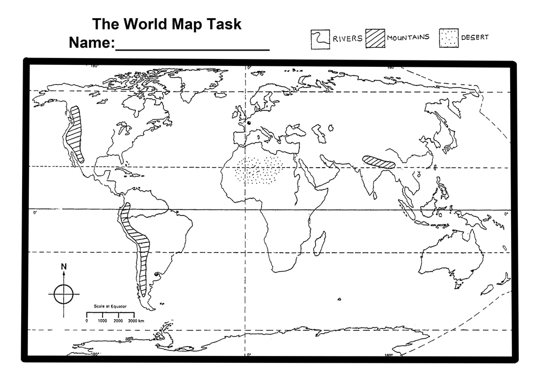
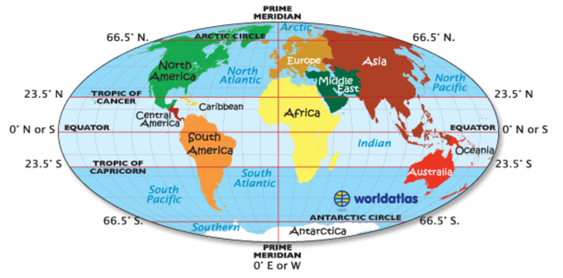
Head of Middle School Transformation @ WSS
KATRINA AXFORD
  • Home
  • About Me
  • Teaching & Learning
    • All things PBL >
      • Lead Schools Project (High Tech High)
      • PBL in Action
      • Have you had a Hamburger?
      • PBL Resources
      • Exhibtion of Learning
      • Culture of Critique
      • 2019 Teachers BDO
    • Awesome Stuff >
      • Explicit Teaching >
        • I Do, We Do, You Do
      • Positive Education >
        • VIA Character Strengths
        • Growth and Fixed Mindset
      • Flipped Learning
      • Learning Objectives and Success Criteria
      • Knowledge Organisers
      • Numeracy
      • Literacy
    • Past Schools >
      • IPACA >
        • Projects @ IPACA >
          • Year 5/6 Making
          • Year 8 Geography >
            • Jambo Kenya
          • Year 7 Geography >
            • What is Geography?
            • The World Map
            • Map Skills and Compass Directions
            • Grid References
            • Scale
            • Contours
            • Environmental Relationships >
              • Cold Environments
      • Mark Oliphant College >
        • Year 8 Visual Arts
        • Year 9 Visual Arts
        • Year 10 Visual Arts >
          • The "Making History POP" project
          • The 'Stencil Pops' Project
          • The "Putting the MO in MOC" Project
          • The 'All Art Deco Out' Project
          • The 'Art of Australia' Project
          • The Newtoon's Project
          • The "I stand by you' Project
          • My Elemental Superhero Project
          • The 'Boxing Equations' Project
          • The 'Pop ID' Project
          • The 'Lights for Civil Rights' Project
          • 'The Diggers Letter' Project
          • The 'Unruly Conflict' Project
          • The 'Could We Should We' project
          • The 'Wallz Rulz" Project
        • Year 11 Visual Arts - Traditional >
          • Visual Study
          • Practical and Folio
        • Year 11 Visual Arts - Digital
        • Year 12 Visual Arts >
          • Visual Study
          • Practical & Folio
        • Proposed Projects >
          • One Line Wonder
          • Photography >
            • Portraiture
            • Light and Shadow Project
            • Time Project
  • WSS Students
    • Year 7 Media Arts >
      • Food Struck Project
      • The 4pm Project >
        • Story board
      • Smart Starts
      • What is Media Arts
      • Technical Stuff
      • Challenge Accepted >
        • Animated Sprites and Pixel Art
        • Font-bots
        • Identity Postcard
    • Year 9 Digital Art >
      • Character Conception
      • The 'Wirri Safari' Project >
        • Howard Arkley
    • Year 8 Visual Art >
      • The 'First Fast Five' Project
      • The 'Let's Face It' Project
      • The Grid System
      • The 'Fantasy Heads' Project
      • Picasso Heads
      • The 'Paste Me Up' Project
    • Year 10 Design >
      • Graphic Design
      • What is a brief?
      • Newspaper Challenge
      • Monogram
      • Poster Design
    • Terminology
    • Media / Techniques
    • Ideas, Meanings & Themes
  • Kataxe Tube

THE WORLD MAP task

Picture

Continents

A continent is a group of countries.  We live in a country called the United Kingdom.  It is in a continent called Europe.  Antarctica is unusual because it is a continent without any countries in it.  One continent is really tricky because it has two names, Oceania and Australasia.  To make it even trickier, some of the internet games get the name wrong and call it Australia, which is a country not a continent.
There are 7 continents:
  • North America
  • South America
  • Africa
  • Asia
  • Europe
  • Oceania (also called Australasia)
  • Antarctica.
Picture

LINES of Latitude

Lines of latitude are imaginary lines draw across a map from side to side.  They are really important because they give us clues about what the climate will be like.  For example, we know that places that are along the Equator and hot and rainy all year round and places above the Arctic Circle are cold and snowy all year round.  
The most important lines of latitude have names.  They are:
  • Equator
  • Tropic of Cancer
  • Tropic of Capricorn
  • Arctic Circle  
  • Antarctic Circle

Picture
Click on the image above to use a website to help you understand the lines of latitude

lines of Longitude

If you have been abroad you will know that the time is different when we go to another country.  This is to do with the lines of longitude on a map.  Lines of longitude are imaginary lines drawn from north to south on the map.  Label the
  • Prime Meridian
  • International Date Line
Picture
Click on the image above to use a website to help you understand the lines of longitude
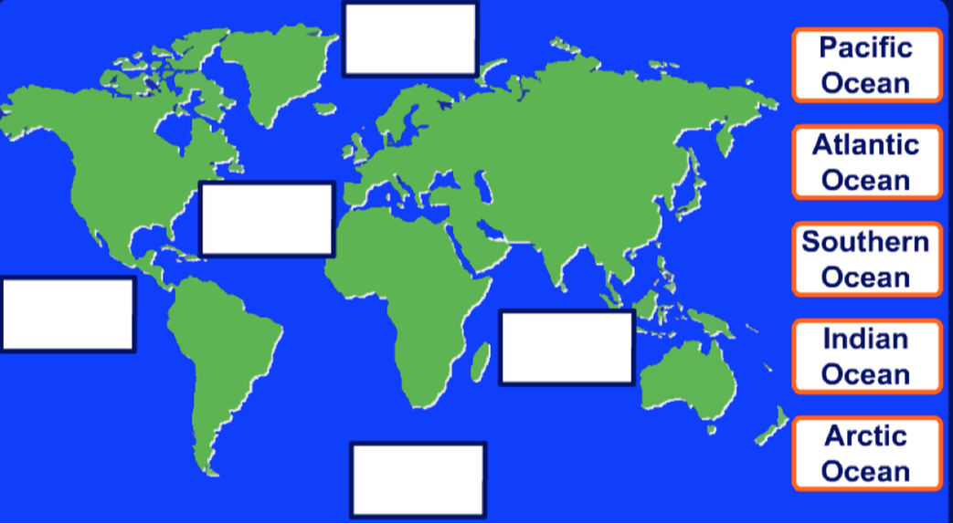
OCEANS

There are 5 oceans:
  • Pacific
  • Atlantic
  • Indian
  • Arctic
  • Southern
Picture
Click on the image above to use a website to help you understand the oceans
Picture

mountain ranges

There are 3 mountain ranges marked on your map.  They are:
  • Himalayas
  • Rocky Mountains
  • Andes
Picture
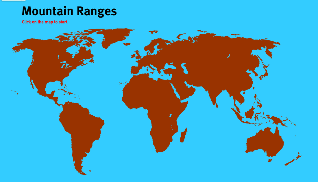
Click on the image above to use a website to help you understand the mountain ranges

rivers

There are 4 rivers marked on the map.  They are:
  • Mississippi
  • Amazon
  • Yangtze
  • Nile

Picture
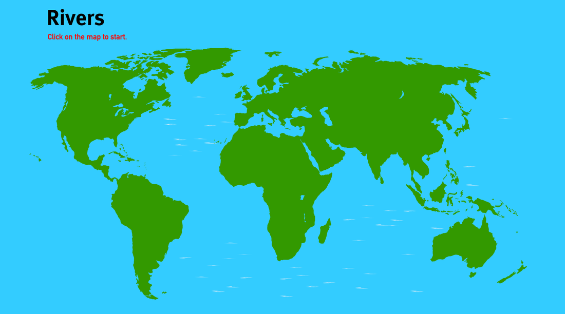
Click on the image above to use a website to help you understand the rivers
Proudly powered by Weebly